
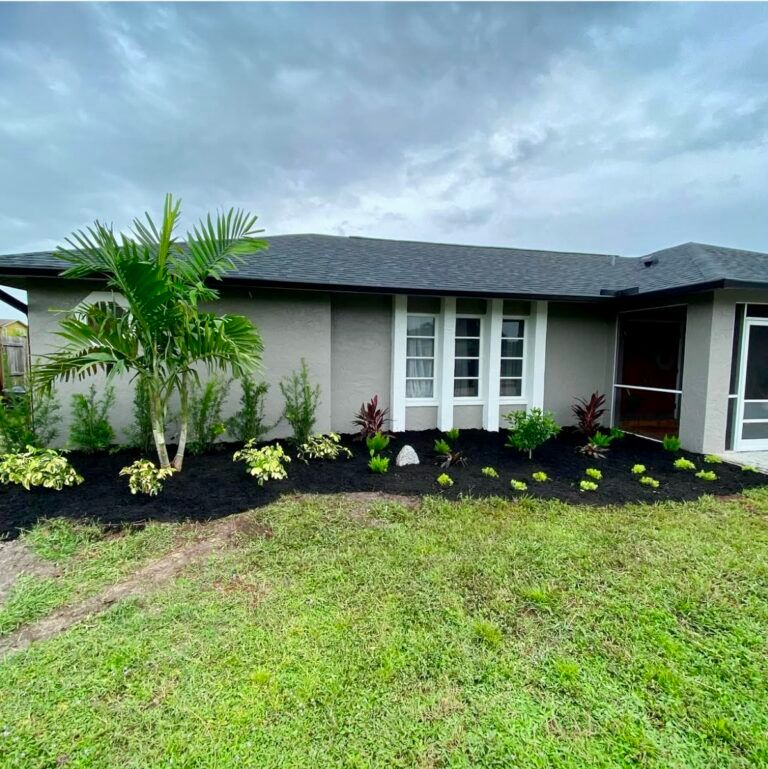
Grading refers to the physical shape and relative elevation of ground surfaces across a property. In casual landscape conversations, the term can sound more technical than it needs to: at a residential level, it simply describes how high or low different areas sit in relation to one another.
Surface shape can be one part of a broader conversation about where water appears after rain. Before considering any earthwork, build a clear record of what you observe and identify the questions that need property-specific confirmation.
Localized Water Movement Versus Broad Surface Contours
A homeowner record can distinguish a narrow observation from a broader one. A roof valley or downspout near a bed, path, or patio edge is a narrow source-to-surface observation. Pooling across several parts of the yard or visible movement between areas is a broader surface-shape question to carry forward.
Neither pattern establishes the cause or a correction. The purpose of the comparison is to help you organize what you see before discussing any change.
What to Document Before Anyone Touches a Shovel
If you want to understand a yard-surface question, do not jump to a change first. Build a factual record of what happens during and after rainfall, using notes from more than one rain event when possible.
- Puddle footprints and durations: Mark where water collects and record when you notice it and when it is no longer visible.
- Visible travel paths: Note the direction water appears to move. Does it move toward the road, a side area, or a patio slab?
- Transitions and edges: Identify points where soft ground meets hard surfaces. Look at where turf borders driveways, pool decks, retaining borders, or the home's foundation slab.
- Landscape bed interaction: Note bed edges or washout you observe near the area of concern.
- Time-stamped photos: Photograph the site during rain and again afterward from the same vantage point when it is safe to do so.
- Recent site changes: Record anything changed on your property or nearby that may be useful context for a later conversation.
Site Features and Surrounding Ground
When documenting water behavior, pay close attention to the structural features that frame your soil:
- Pervious versus impervious balance: Concrete driveways, paver walkways, and screened pool decks are hard surfaces (opens in a new tab) worth noting in the observation record.
- Roof discharge locations: Trace every downspout to its exit point. Note whether it empties into open turf, a mulched planting area, or onto hardscape.
- Subsurface fixtures: Take note of the irrigation, utility, or other underground information you already have so it can be confirmed before any proposed change.
Boundaries, Governance, and Decision Owners
Before changing any yard contours, identify the known property and decision constraints to confirm:
- Property boundaries: Confirm exactly where your property ends. Eyeballing a boundary based on where the grass is cut or where a neighbor's sprinkler sprays is a recipe for border disputes.
- Known drainage features or easements: Do you know of any drainage features, easements, or deed restrictions that should be confirmed before a proposed change?
- Homeowners Association (HOA) rules: Which HOA or architectural-review questions apply to the proposed scope, if any?
- Municipal and county jurisdiction: Which local authority should confirm any requirements for the property and proposed work?
- Utility information: Which underground utility or irrigation information should be confirmed before any digging?
How Soils, Hardscapes, and Plantings Interact
Soil condition and site history (opens in a new tab) can be relevant context in an urban landscape, but they do not establish a diagnosis for a particular yard. Include what you know about prior work, planted areas, and soil or water observations in the record for property-specific review.
Hard surfaces and planting areas also belong on that record. Their presence is a reason to document the broader setting, not a basis for selecting a correction.
A Pre-Earthwork Review Agenda
Before discussing any changes to the shape of your yard, walk through this checklist. A written record can keep a later conversation focused on observations and unanswered questions.
- Summarize your physical observations: What pattern of pooling or travel have you observed, supported by notes and photos?
- Determine the apparent scope: Does the issue center on a single downspout or isolated hardscape overflow, or does it involve wide swaths of turf and boundary lines?
- Identify site constraints: Where are the recorded easements, buried utilities, property markers, and irrigation lines located on your survey?
- Identify the authority to ask: Which HOA, municipality, county, or other authority should confirm whether the proposed scope has requirements?
- Identify elements needing property-specific evaluation: Are there existing trees, hardscape, or nearby conditions that should be considered before the ground surface changes?
Taking time to document observations gives you a clearer starting point before considering a change. When you are ready to discuss those observations in a property-specific conversation, reach out to discuss drainage solutions.